Wednesday, June 5, 2013

Utah ROCKS!

Our lazy days in Utah are numbered; tomorrow we point east again and plan to make:  Colorado!  As we reflect on our nearly 3 weeks in Utah, the theme emerges:  Utah ROCKS.  Every color, every shape, every size, every day.  We'll be back ... some day.

This quote from Henry David Thoreau sums it up:

The finest workers of stone are not copper or steel tools, but the gentle touches of air and water working at their leisure with a liberal allowance of time.

Delicate Arch -- the symbol of Utah

Arches National Park

Arches -- thousands of them -- along with spires, fins, balanced rocks, and walls dot the landscape at Arches National Park.  Even though it is a second or third trip here, the spell of the rocks emerges anew.

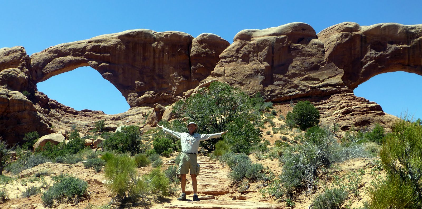
North and South Windows  

Wolfe's Cabin -- an early settler who eked out a living grazing his cattle

Even earlier peoples marked this as a special place.  

Rocks, Caves, Arches -- some of everything here

Canyonlands National Park

The wild, wild west is really alive and thriving in Canyonlands National Park.  The scenery is raw and the climate is challenging--and for sheer vast expanses of space--nothing compares to Canyonlands.   In our typical fashion we did a ranger program, a couple of hikes, and hid out in the air-conditioned  visitor center in the afternoon.

The ranger program wins "best in Utah awards" as she brought along several musical selections to help us remember the 4 movements (laying down, turning to rock, lifting up, eroding) that laid the stage for the symphony in front of us--Grand View Point.   The talk concluded with Aaron Copland's Theme for a Common Man as we gazed out into the hazy view.  The group applauded.

Green River -- before joining with the Colorado River (within the Park)

Missing Yosemite!

Green River again

Upheaval Dome.  Want to add a guess as to the cause of this circular formation in land of plateaus & ridges?

One of the few flowers in the rugged landscape

View under Mesa Arch

Views in every direction.  WOW.  

Monday, June 3, 2013

Burr Trail

The Burr Trail is legendary in this part of Utah.  Originally built so John Burr could drive his cattle from the Aquarius Plateau (near Bryce National Park) through Boulder and on to the Glen Canyon.  Nowadays, tourists ply the route staring at soaring red rock cliffs, exploring slot canyons, and savoring the views.  The Burr Road is paved in many sections and in those unpaved sections:  washboard gravel to shake your teeth loose.  Alan's strategy:  go fast enough to just skim the top of the ridges.  Um.

But it was incredibly scenic.  We took the opportunity to explore 2 canyons in the far reaches of Capital Reef National Park:  Headquarters Canyon and Surprise Canyon.  My favorite was the Surprise Canyon:  wonderful colors, a hidden geocache, and the lilting song of a canyon wren.

Then we drove up the back side of the Waterpocket Fold:  the longest monocline in the US.

A long day in the car; fun in the canyons; and then -- a honking wind storm that kept us up most of the night and again coated us, the sleeping bags, and the inside of our tent in fine gritty sand.  No one was in a good mood this morning and not even mixed berry pie (a quick stop at Capital Reef NP) for breakfast could raise a smile.  Maybe it is just that "grain of sand in the bikini in paradise" syndrome.

On to Moab.  And a shower.  And a meal out.

Can you see the switchbacks down the ridge?

Backside of the Waterpocket Fold

Walking towards Surprise Canyon

Lovely canyon walls

End of the canyon for us!

Love that purple

Chocolate Layer something....


National Trails Day

Let's Go Hiking -- National Trails Day -- seemed like a fine opportunity to celebrate the outdoors with a hike.   But maybe you picked better than we did!!

Sometimes we don't read and understand the fine print.  Like the trail description for the Behunin Creek Trail -- a bit of elevation climb to the top of Boulder Mountain.  The views are always the best at the top so we figured, that was the trail for us.   This was about an hour after we agreed to go easy given the altitude.

Enroute to the trailhead, we the access road was too rocky for our car.  So we backed down the road a bit and walked to the trail head.  And then we began to climb UP.  UP.  UP.  UP.  Later we were advised that we had begun the hike at about 8600 ft and ended up at 11300.  In a bit over 3 miles.   Quite early on I had lost my sense of adventure about this hike -- there were downed trees everywhere, a few snow patches, and a couple of times (esp near the meadows) we lost the trail.  All for the view.

Yeah, it was a fine fine view.  And then we headed downhill working out the other side of our leg muscles.

So, we deserved a treat and went into Torrey for ice cream.  A view and ice cream.  And a great hike.

View towards Henry Mountains with south part of Capital Reef in foreground

A few elk -- enjoying National Trails Day -- surely surprised to see us!

Lower Bowns Resevoir

Rim of Boulder Mountain (a flat top mountain).  That be snow.  Yes, we climbed up that slope.

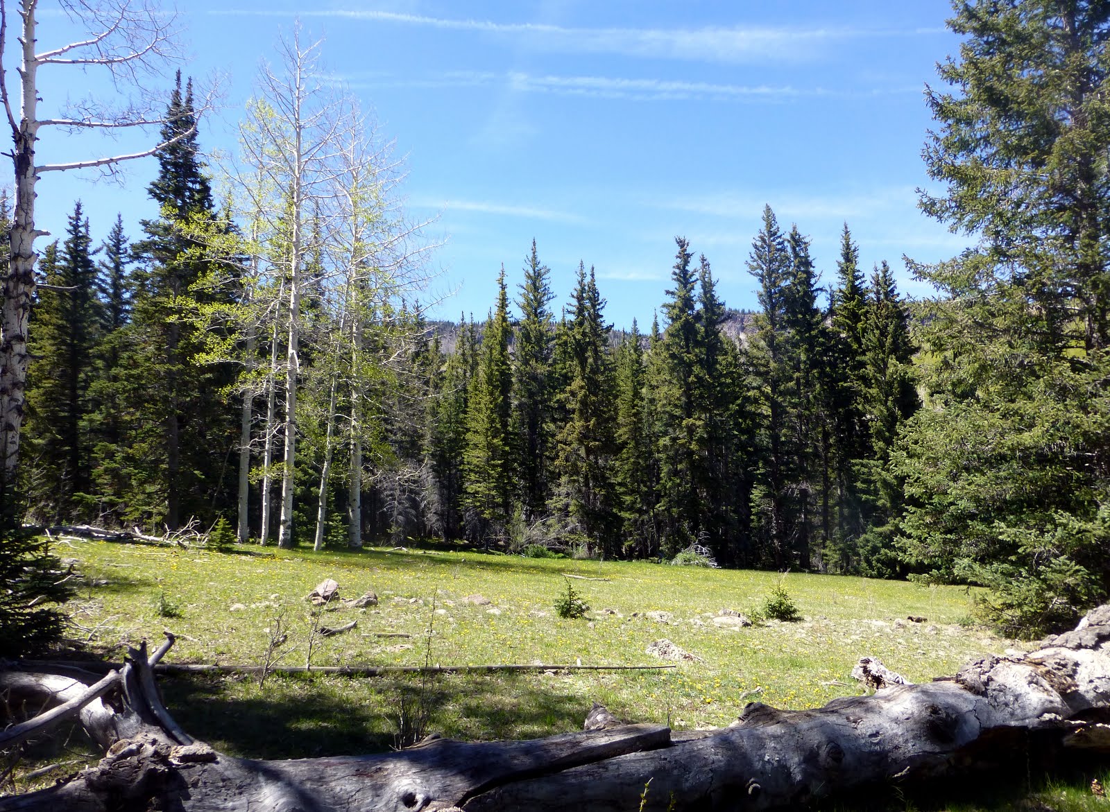
Lovely meadow

Across the Pleasant Creek we go.

More snow than flowers -- too early at this elevation

Shades of Green looking back up hill