Sunday, September 25, 2011

The Coast Ride -- September 2011

Alan and I rode our bikes from home to Morro Bay -- taking 7 days to cover the 310 miles.  We had glorious sunny days and glorious foggy days.  We had no mechanical issues; no flat tires.  We both fell once but in neither case did the tumble force us to change our plans.  Good coffee and great pastry in most towns!  A big cheer for Marianne's Ice Cream -- locally made in Santa Cruz.  Robin's restaurant in Cambria was exquisite.  Thanks to Joanna and Clint and all the Wulzens for a warm welcome in Morro Bay.


During our trip we were privileged to be part of a small community of characters getting up and down the coast under "human" power.

WE DID IT.  Loved most every minute.  Whined only some of the time.  And we would do it again in a heart beat.  Maybe next year...the Selkirk Loop!  Anyone care to join us?

I have posted each day in reverse -- so read down for the trip travelogue.

Get dreaming!  Get going!

Ready for the Road

Onward!

SHARE THE ROAD!

Mountain Man at Big Sur

Thumbs UP


DAY 1: HOME TO HALF MOON BAY

Day 1:  Home to Half Moon Bay.  44 miles.

Finally, the day arrived.  We would get on those bikes, and the weight would be camping gear not simply library books or Costco size cooking oil and laundry detergent containers.  Would we be able to do this trip to Morro Bay? Mentally and Physically?  Without too much whining?

It was sunny in San Anselmo, a rarity this summer.  We even dared to hope that our trip across the Golden Gate Bridge would be in the sun!

The route was so familiar--through San Anselmo, through Ross to the bike path.  Over the hill at Meadowsweet and on to the Mill Valley bike path.  Through Sausalito and then -- keep on going!  No sign of fog!!  Around the climb, there was the bridge and the city in view.  WOW.  Even after seeing that view hundreds of time, it still is beautiful and I love calling the Bay Area home.

The west side walkway of the Bridge was open for cyclists.  We could look out to see the blue Pacific and watch the boats tack out the gate.  We kept going -- through the Presido, through the Richmond district, and out to Ocean Beach.  It was Coastal Clean Up Day, so there were lots of folks out picking up trash; a hearty thanks to all for that community service.  The windmill in Golden Gate Park was slowly turning.  We stopped for lunch.

Ever southward we rode:  through San Francisco and then the climb to Daly City and Pacifica.  And then we had the first challenging climb:  Devil's Slide between Pacifica and Montara.  It would not be the longest, steepest or hardest climb.  But it was our first and on a busy section of Highway 1 with no shoulder.  They are building a tunnel to bypass this section of the coast--too many accidents and slides!  But drivers were cautious around us and suddenly:  UP AND OVER!  And we were just an afternoon away from Half Moon Bay.

We were following the maps developed by the Adventure Cycling Association (ACA).  They were excellent and included details in and around towns, service listings (including campgrounds) in most towns, a bit of history of the area and route elevation profiles.  Read those and think twice!!  In most cases they were spot on; we often found local bike routes to reduce our highway riding even more.

Our route was down the coast:  the Pacific Coast Bike Route runs from Vancouver to San Diego following Route 1 along the coast in California.  The prevailing winds are north to south (normally) and September/October offers the best chance for the least fog.

We also quickly figured out that the California Coastal Classic, a supported ride from San Francisco to Los Angeles, was just a day or two ahead of us.  And they had spray painted orange arrows on the roads to keep riders from going astray.  That helped immensely as we did not have to stop and check the map too many times.  They also had many local frontage roads marked that were not found on the ACA maps.

In most cases the shoulder of Highway 1 is wide, clean, and totally adequate for safe riding.  In a few places -- maybe not so much.  And between Carmel and San Simeon; well, there wasn't much of a shoulder but the cars were all going slow and we never felt afraid for our safety.  Yes, one had to be mindful of traffic but it was not stressful after the ride up Devil's Slide.

Many communities have marked dedicated bike routes to help cyclists navigate on less busy roads.  Those were easy and fun to follow.  And in many places we found multi-use bike paths:  pedestrians and bike only paths.  This was the best -- miles of easy, safe riding away from the noise of cars and trucks.  Our favorite bike paths:  Marin, San Francisco, Half Moon Bay, Fort Ord (Monterey), Monterey / Pacific Grove, and Morro Bay.

Alan and BOB ready to leave

Well, no time like NOW

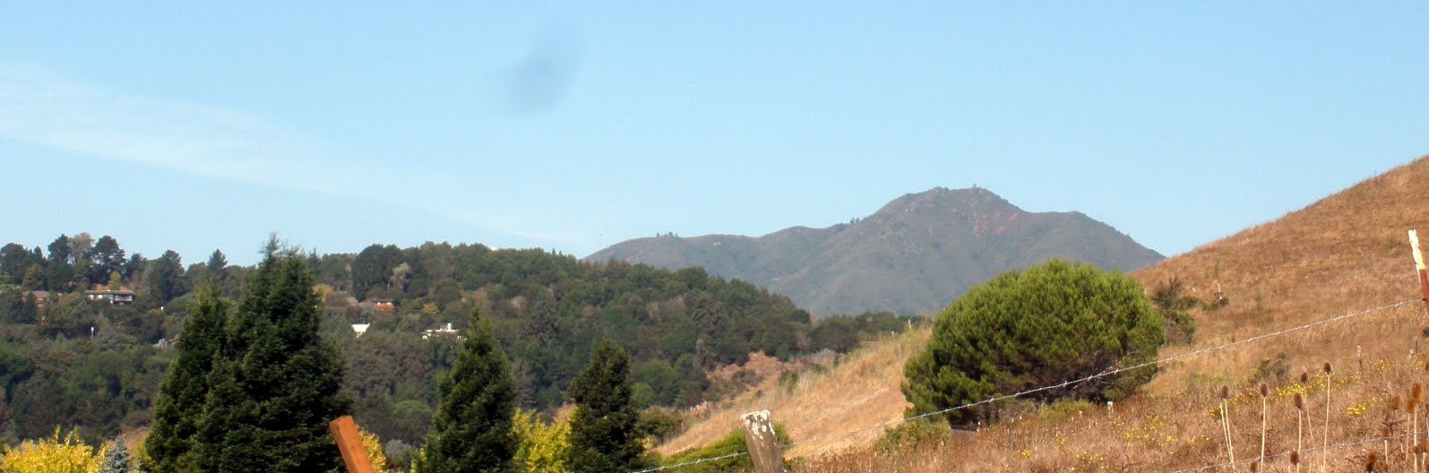
Mt Tam early on Saturday

NO FOG

Down to the beach in Pacifica


DAY 2: THE LONGEST DAY TO A DOUBLE SCOOP

Day 2:  Half Moon Bay to New Brighton Beach (near Santa Cruz)   60 miles

Yup, 60 miles and the last 35 went on forever.  At least that is how my legs remember it!

Half Moon Bay was quiet when we left--the tent fly was soaking wet as the night fog was thick.  We could hear the surf from our tent.  We went into town for a breakfast and coffee.  Then down California Route 1.
We expected a fair bit of traffic as it was a Sunday and the nice weather was likely to bring out many others.

The road was familiar; the beaches delightful.  We saw only a few surfers and wind surfers.  The pumpkin patches are about to explode with orange color.  Fast cars around every bend:  Lotus, Maserati, Ferrari.  We were all out to enjoy the beauty of the day.

We arrived in Santa Cruz with tired legs and then found our way through city streets to New Brighton Beach Campground near Soquel.  Now why did THAT campground have to be at the top of the bluff after our 60 mile day?  That is the most I have ever ridden at once and for some stupid reason we had not stopped for a break since lunch.  I was a pumpkin myself.

But we cleaned up nice and walked down a railroad grade to Capitola--a small beach/surfing community.  The town was packed even at 6pm.  We watched the surfers and sun bathers.  We wandered town.  And somehow the gods lead us to Cafe Violette for ice cream....locally made, of course.  They serve Marianne's Ice Cream made in Santa Cruz.   I picked the 10-20 flavor -- caramel flavored ice cream with fudge swirl and oreo cookie pieces.  Seems the 10-20 refers to their home address in Santa Cruz:  1020 Ocean Avenue!

I thought of getting a second cone, but mature & adult judgement interfered so back up the hill we walked.  A quick dinner and down for the night.

Loving the Sunny Day

Deserted Beach

On the Road South

Kite Surfing

Playing in the Waves at Capitola

Proudly Serving Marianne's Ice Cream from Santa Cruz 

DAY 3: STRAWBERRY FIELDS FOREVER

Day 3:  New Brighton Beach (near Santa Cruz) to Monterey:  45 miles

A totally delightful day in the saddle making our way south along the edge of Monterey Bay.  The sun was blazing early so the scenery was crisp and blue.  We were only on a busy road for a few miles--winding through agricultural fields and the dedicated bike paths.  We could have gone on and on.

Alan had a memory of the same 2 railroad trestles from his first ride south.   Somethings are built to last!

The route was through strawberry fields and the air was heavy with their scent.  Rolling hills and rows and rows of plants.  We watched as migrant workers were hard at work and reflected on their contribution to our wellbeing with diverse, fresh and organic crops.

Then it was a short stint on Highway 1 south through Moss Landing, a working harbor complete with harbor seals basking in the sun.  We stopped at Phil's Restaurant for lunch based on recommendation from Arlene & Les.  Seafood straight from the boat -- I had the sliders:  1 each of shrimp, scallops, salmon, and calamari.  Alan enjoyed the ahi tuna.  So delicious!

Back on the road -- a bit farther and then on bike paths for 20+ miles all the way into Monterey.  A new path has been opened through Fort Ord (now decommissioned).   Even with a bit of a head wind, the ride was easy, the views stunning, and the miles clicked off.

Alas, the campground is at the TOP of a long hill with the worst grades we were to see:  10-11%.  We both walked a short stretch as our legs were done by then.

We walked back down to the wharf after getting set up; got salads at Trader Joe's and fell asleep early.  We spent the night listening to the sea lions from the harbor!

What gear did we use for this trip?
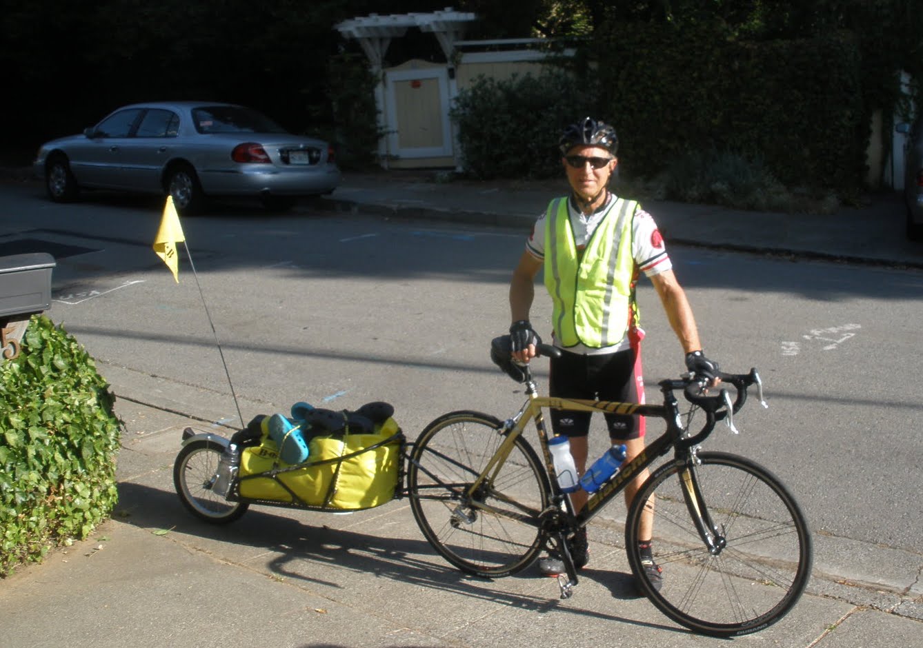
Alan rides a Bianchi carbon bike -- he had that completely refurbished with lower gears, new brake and shift cables, brake pads, rear derailer, chain, tires and seat.  I suppose after 7,000 miles some routine service is in order!  As he has a carbon frame, he can not mount racks and carry the panniers often associated with bike touring.  So he found a BOB trailer (Beast of Burden) on Craig's List and towed that!  The BOB connects to his rear wheel axle and has a single 18 inch wheel.  There is a waterproof bag and it weights 35 or so pounds.  He carries our sleeping gear, cooking gear, pump and spares, and food.

I ride my Cannondale with rear rack and double panniers.  My load is probably 25 pounds including our tent, clothes, toiletries, a book each and flashlights.

We each have 2 sets of cycling clothes, arms/legs/gloves, vest and reflective top, 1 set of street clothes, and a full set of long underwear, hats.  We would have to add rain jackets in most other areas.

We had cycling odometers to help monitor our riding.   We each carried multiple water bottles.  Oh yeah, and a small cable lock that would not discourage anyone from stealing the bikes but made us feel prudent!

Strawberry Fields Forever
A River

Harbor Seals rule in Moss Landing

Bike Path on to Monterey

Bike Path near Fort Ord

On to Monterey

DAY 4: FLOATING OVER THE FOG

Day 4:  Monterey to Big Sur.  47 miles

The sun was shining as we awoke for day 4.  We had some housekeeping chores to finish (code for trip to a laundry mat) so headed towards Pacific Grove.   We opted to leave the standard Pacific Coast route and ride the 17 Mile Drive through Carmel.  The Drive is free for cyclists and it was fun to bypass all the cars waiting to pay.  We rode along looking at the estate homes, the crashing surf, and the golf courses.  We went past Pebble Beach and saw the turnoff for "Stillwater Cove" -- a place we anchored years ago and believe me those waters were not still that night.  Gas at Pebble Beach was $5.80 a gallon and there were cars lined up for the pump.

As the miles rolled past, we went around Carmel and past the Carmel Mission.  We had a picnic lunch at Carmel River Beach State Park.  It felt like the heart of the ride was upon us.  No more services; long stretches of climbing; isolated communities.  It was past the point of turning back.  Were we up for the challenge?

Up, Down, Curve Left, Curve Right.  Bridges from the 30s.  Roadwork.  Up, Down, Curve Left, Curve Right.  More roadwork.

Alan remembers Hurricane Gulch from his previous ride down the coast (um, 48 years ago).  The winds blew so strongly he was pushed sideways across the bridge and into ongoing traffic despite all out pedaling.  But there was nothing like that this time.

There were many cars; many motorcyclists, many RVs.  Those rental RV drivers seem to avoid crossing the double yellow line and I'm not sure they realize just how wide they are.  But most drivers were very aware of us and I never felt the cars were too close or too threatening.

And then I fell.  We were approaching a traffic control zone; a stretch of just one lane.  We were going slow as we approached the stopping point; it was slightly uphill.  And I could not get my foot out of my pedal.  PANIC.  Nowhere to go but over -- and over I went onto the side of the road.  The bike landed on top of me; blood squirted from my knee and mostly I was embarrassed and shocked.  I realized I was not really badly hurt -- a few cuts on my knee and a gorgeous purple blue bruise spreading across my leg.  But, I could get up and walk and push the bike...and get back in that saddle and ride.   We were still miles from Big Sur.  Best get on with doing it!

I had a chocolate chip cookie on the top of the hill.  That helped cure the road rash blues.

We rode above the fog in many sections.  Beautiful hills in clear, crisp blue skies.  And the Pacific Coast hidden in gray fog.

The campground at Big Sur is right in the redwoods along the Big Sur River.  It was lovely.  We cleaned up; wandered along the river.  And luck was with us as we found 2 cycling jerseys and 1 pair of shorts in the laundry room!  An assisted ride, the California Coastal Classic, raises money for the National Arthritis Foundation had passed through the day before and someone had left these items behind.  Works for me!!

We camped our entire trip:  Hiker Biker sites are available in campgrounds run by State of California (Half Moon Bay, New Brighton Beach near Santa Cruz, Big Sur and Hearst San Simeon Beach State Park); the City of Monterey at Veteran's Memorial Park; and the National Forest Service (Plaskett Creek).  The sites are available without reservation and no one is "turned away."  They charge per person ($5-7 per person) rather than the going rate of $35 per site which must be reserved in advance.  We planned our route based on how far we could ride and where we would find campgrounds.  They were clean, comfortable, accessible, and affordable.  All had showers except Plaskett Creek.  Our favorite campground:  Big Sur.  Our least favorite:  San Simeon -- where they put the bikers right by the road and the campground host is a grumpy, vet with a massive chip on his shoulder.

Pacific Grove to Carmel

Mission at Carmel

Picnic Lunch at Carmel River Beach Park

Riding above the Fog -- ocean, fog, hills, sky and the road

Our campsite at Big Sur

Through the campground