Finally, the day arrived. We would get on those bikes, and the weight would be camping gear not simply library books or Costco size cooking oil and laundry detergent containers. Would we be able to do this trip to Morro Bay? Mentally and Physically? Without too much whining?
It was sunny in San Anselmo, a rarity this summer. We even dared to hope that our trip across the Golden Gate Bridge would be in the sun!
The route was so familiar--through San Anselmo, through Ross to the bike path. Over the hill at Meadowsweet and on to the Mill Valley bike path. Through Sausalito and then -- keep on going! No sign of fog!! Around the climb, there was the bridge and the city in view. WOW. Even after seeing that view hundreds of time, it still is beautiful and I love calling the Bay Area home.
The west side walkway of the Bridge was open for cyclists. We could look out to see the blue Pacific and watch the boats tack out the gate. We kept going -- through the Presido, through the Richmond district, and out to Ocean Beach. It was Coastal Clean Up Day, so there were lots of folks out picking up trash; a hearty thanks to all for that community service. The windmill in Golden Gate Park was slowly turning. We stopped for lunch.
Ever southward we rode: through San Francisco and then the climb to Daly City and Pacifica. And then we had the first challenging climb: Devil's Slide between Pacifica and Montara. It would not be the longest, steepest or hardest climb. But it was our first and on a busy section of Highway 1 with no shoulder. They are building a tunnel to bypass this section of the coast--too many accidents and slides! But drivers were cautious around us and suddenly: UP AND OVER! And we were just an afternoon away from Half Moon Bay.
We were following the maps developed by the Adventure Cycling Association (ACA). They were excellent and included details in and around towns, service listings (including campgrounds) in most towns, a bit of history of the area and route elevation profiles. Read those and think twice!! In most cases they were spot on; we often found local bike routes to reduce our highway riding even more.
Our route was down the coast: the Pacific Coast Bike Route runs from Vancouver to San Diego following Route 1 along the coast in California. The prevailing winds are north to south (normally) and September/October offers the best chance for the least fog.
We also quickly figured out that the California Coastal Classic, a supported ride from San Francisco to Los Angeles, was just a day or two ahead of us. And they had spray painted orange arrows on the roads to keep riders from going astray. That helped immensely as we did not have to stop and check the map too many times. They also had many local frontage roads marked that were not found on the ACA maps.
In most cases the shoulder of Highway 1 is wide, clean, and totally adequate for safe riding. In a few places -- maybe not so much. And between Carmel and San Simeon; well, there wasn't much of a shoulder but the cars were all going slow and we never felt afraid for our safety. Yes, one had to be mindful of traffic but it was not stressful after the ride up Devil's Slide.
Many communities have marked dedicated bike routes to help cyclists navigate on less busy roads. Those were easy and fun to follow. And in many places we found multi-use bike paths: pedestrians and bike only paths. This was the best -- miles of easy, safe riding away from the noise of cars and trucks. Our favorite bike paths: Marin, San Francisco, Half Moon Bay, Fort Ord (Monterey), Monterey / Pacific Grove, and Morro Bay.
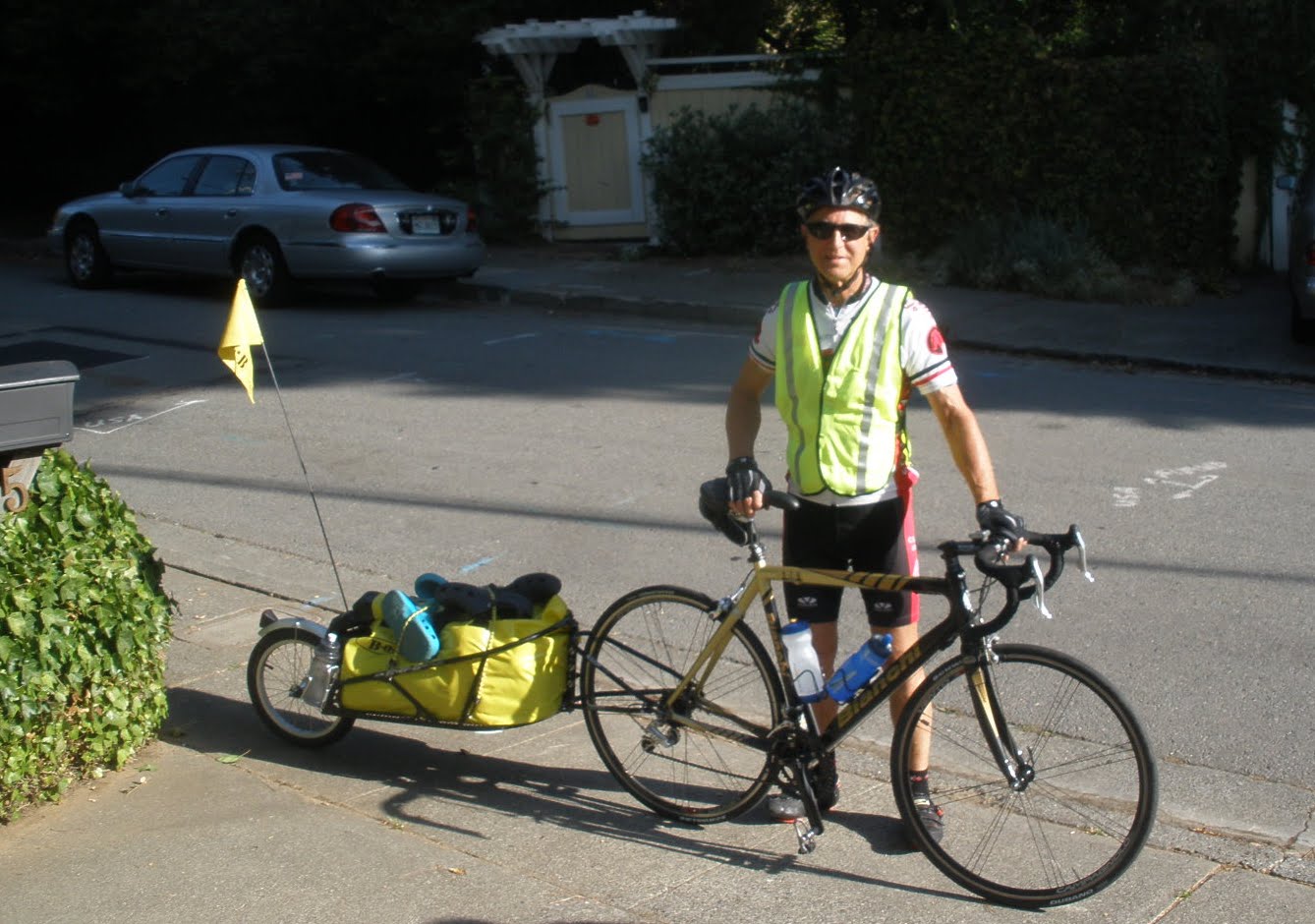 |
| Alan and BOB ready to leave |
 |
| Well, no time like NOW |
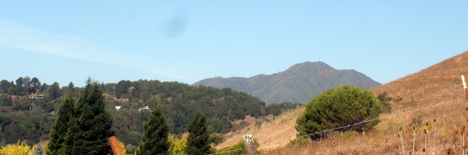 |
| Mt Tam early on Saturday |
 |
| NO FOG |
 |
| Down to the beach in Pacifica |
No comments:
Post a Comment