Sunday, July 13, 2014

Porcupine Mountains Wilderness State Park

Our last stop in the UP--Porcupine Mountains Wilderness State Park--the largest Michigan State Park and the crown jewel of the state.  90 miles of trails, innumerable lakes and waterfalls, and the largest remaining stand of old growth/mature hardware forest in the US.  The remote and rugged landscape and its isolation (even now) helped protect this place.

The hiking trails were STEEP -- imagine that the high point of the park is 1958 feet and within a few miles you are putting your toes in Lake Michigan.  After going up and down at least 2 ridges.  We picked trails with "scenic views" (only to discover that the views are pretty tame when hidden under mounds of green trees) or "old growth forest" or "historic sites" (1 or 2 abandoned copper mines from the 1840s).

We did have a day of summer!  Hot and sunny long enough to shed our fleece and dig our swim suits!!  That night however the cold rain returned.  Alas.
Let's Go Hiking!
Porcupine Mountains takes its name from an Ojibwa word for Porcupine.  


Lake of the Clouds.  To left is ridge and then Lake Superior;
2 ridges to the right is Summit Peak.

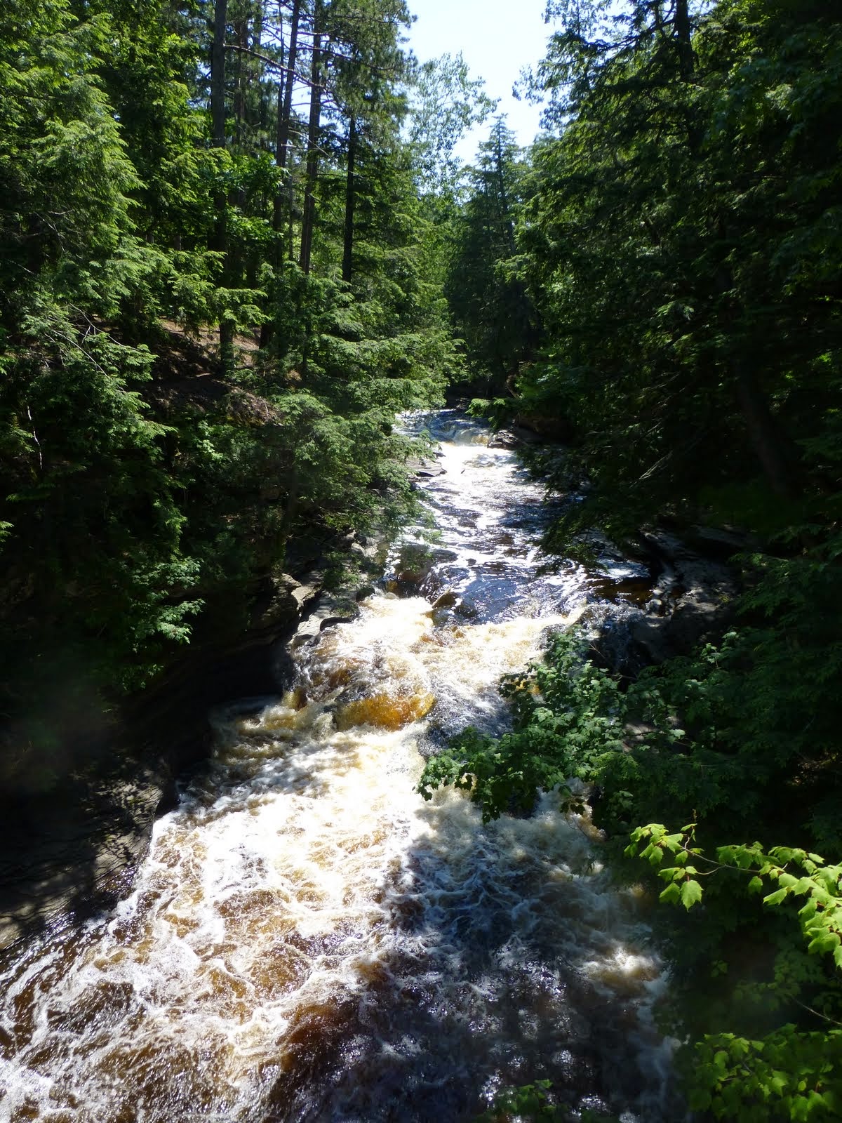
Wild and scenic, the Presque Isle River tumbles over several waterfalls as it races to the Lake.

Manabezho Falls -- named for the powerful spirit-god of the Ojibwa peoples.
Sure would be nice if someone would clean up the view!


Wide and lovely as it nears the Lake.

Wednesday, July 9, 2014

Keweenaw Peninsula: Copper Island

Jutting out into Lake Superior the Keweenaw Peninsula had the largest deposit of pure elemental copper in the world.  In the early 1840s, the US Government signed treaties with the local Native Americans that unleashed the copper boom; an essential component of everything from guns to cookware to telegraph wire. The saying "Go West Young Man" was really directed to encouraging men/miners to tame the Keweenaw Peninsula.  Forget California!

Remote and inhospitable the Peninsula flourished as a mining center and became a mecca for immigrants from around the world.  In Calumet, 30 languages were spoken on the streets, 6 foreign language newspapers were published, and world class theater was performed.  And like most booms, when the copper ran out and the trees had all been clear cut the area sunk into a gritty poverty.

Today tourism (both summer and winter!) and a couple of universities drive the economy.

The 2 UP seasons:  Winter and Almost Winter.  Ha.

Lovely stone building from very successful Calumet & Hecla Copper Mine.


Calumet Theater opened in 1900 -- sign of a wealthy community

Snow Fall Record from 1978-79.  Snow and more snow.  Everyday for months.

Driving a backroads to a grove of "old growth" pine.  


Copper Harbor Lighthouse at the "top of Michigan"


Ridge top above Copper Harbor looking out towards Eagle Harbor and Isle Royale.

Eagle River Lighthouse


Sunday, July 6, 2014

Shovelin' and Swattin': Picture Rocks Part 2

Locals describe the seasons of the UP as Shovelin & Swattin.  THANK goodness we are only here for the swattin season -- late rains, a cool spring (no evaporation), and lots of snowmelt have lead to a prodigious bug season.  Even the locals are complaining and the stores are out of various chemical interventions.  Temps:  we set up camp in the 80s and shivered in the low 40s at night.  um.  Other than the bugs -- the place does "rock" on.

We moved early to the east side of the Lakeshore and snagged a campsite on the bluff with a view of Lake Superior.  From there we explored:  shipwrecks, a lighthouse, the sand dunes at Au Sable,  Tahquamenon Falls, and Seney National Wildlife Refuge.  The North Country Trail wandered through the park.  AND we sat in our campsite inside the bug tent and watched the Lake.

One interesting thing I learned -- the loggers worked in the winter so they could float the logs down the rivers in the spring!  They iced up the dirt roads & pulled enormous loads to river's edge.  In the spring logs would shoot down the rivers.  Log jams of 50 feet at the Falls!! Yikes.  Then, surprise surprise the trees were gone and deserted towns dot the landscape.


Tahqumenon Falls is the 2nd largest falls east of the Mississippi.  Um, what would be 1st?
50+ foot drop; 200 feet across--lovely tannin color.  No maid of the mist rides here!


Au Sable Light Station -- sits above the reef at Au Sable Point and west of the Grand Sable Dunes.
Built in 1872 the lighthouse still functions (note the tiny solar panel to power an LED light!)


Sneak a view at the Lake as we climb the Lighthouse

97 steps up!  Can't imagine lugging the kerosene upstairs everyday.

Even with the Lighthouse -- wrecks litter the seashore.  These are the remains of the Sitka and Gale Staples; lost in 1904 and 1918.  20+ wrecks remain though most are in 20-35 feet of water.  Scuba Diving???


Rocky Shore -- sparkling in the water.  What will tumble to a shine??


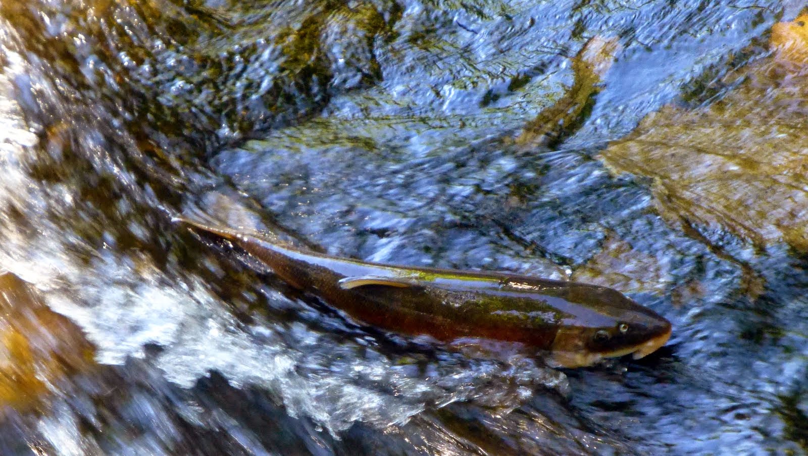
Coast Brook Trout in the Hurricane River.  Closest I am getting to fishing!

View from my campsite.  Lake Superior -- 10% of the world's fresh water -- a sight for sure!!

Intrepid hikers who ran down the 200 foot "log slide" and now are coming back.  They would slide logs down a chute, build a log raft & tow the raft to mills in Grand Marais.  Scene from  top of Grand Sable Dunes.


Wind & sand -- the dunes are always on the move!

Looking out at the dunes from a pine scrub forest -- far point in background is Au Sable Lighthouse.

Success story at Seney National Wildlife Refuge--trumpeter swans everywhere!


Sunday, June 29, 2014

Pictured Rocks National Seashore

We huddled inside Bessie for a day of cold rain.  A record downpour of 1 1/2 inches.  Fun.  We went looking for a moose; no luck.

Then east to Munising--western edge of the Pictured Rocks National Seashore.  Imagine sandstone cliffs --ochre, tan, brown, sandwiched with layers of white and green -- that tower 50 to 200 feet above the shores of Lake Superior.  Waterfalls dot the coast and inland; creeks and rivers and lakes abound, lighthouses mark the shore points along this unforgiving coast.  We hiked; took a 3 hour sunset tour on a cruise boat to see the cliffs; and topped the adventure with the float down the AuTrain Canoe Trail.

Summer is sort of here -- a bit warmer and the bugs a bit bigger.

Looking for a moose but found a logger.  Logging is big business here.

Miners Waterfall -- 50 foot drop

Miner's Castle along Lake Superior

Kayaking in the Lake -- there is a Hiawatha Canoe Trail along the shore
that matches the North Country Trail along the cliff edges.  Sweet.


Lighthouse on Grand Island

Palette of colors along the cliff


Tree on top of Chapel Rock.  Previously the root (see extension mid air to right)
supported by rock.  That collapsed but tree still lives!  Root is 20+ feet long in the air!

Excitement -- we missed a slump of the cliff into the water but arrived in time to see the discolored water!
Sandstone cliffs are soft and repeated freeze and melt cycles add to ever changing edge.


Water, cliffs, and sky for 40 + miles

Tucking into a small cove

Cliffs

Looking from the trail -- incredible blue water that is quite shallow along the coast


North County Trail will run from New York to North Dakota.
This has to be one of the loveliest stretches!


Lazy River Canoe Ride.  STRONG current pretty much swept us along.


6 miles of twisted braided river channel.  Shallow at times; down trees to dodge.